High-Performance Computing Center Stuttgart

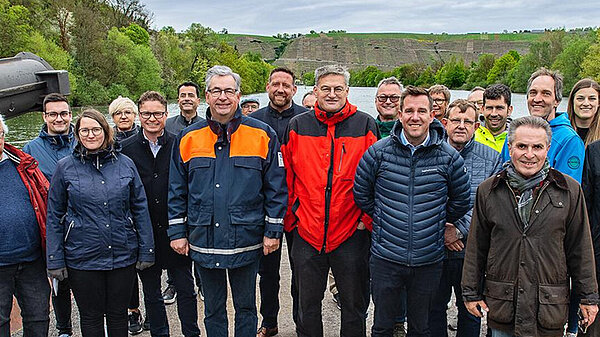
On April 9, 2024, scientists from the High-Performance Computing Center Stuttgart (HLRS) met leaders of Ludwigsburg community governments for a boat ride along the Neckar. During the excursion they also presented a digital twin of the Neckar River terraces. Using simulation, the digital twin will be used to visualize potential changes to this heritage landscape. The resulting models will support decision-making aimed at managing it in a sustainable way.
In a press release announcing the project, Ludwigsburg district commissioner Dietmar Allgaier welcomed the new approach, saying, “If we really want to attack this problem, the district needs a practical and comprehensive overview of the development of steep features of our landscape. To do this, we also need to use modern technologies… We will experience dramatic changes in the landscape if we do not act now.”
According to Claus-Peter Hutter, president of the foundation NatureLife-International and the initiator of the project, “The goal is to gain a unique perspective on changes that threaten the landscape we have come to love, which in some places have already reached an advanced state.”
Digital twins offer detailed models of physical locations in virtual reality, integrating different kinds of data sets and making them easier to interpret. Over the past several years at HLRS, visualization scientists have been demonstrating how digital twins can support decision-making in cities and communities. Digital twins provide a data-rich, realistic model of a location; enable more effective, participatory, data-based discussions; and make it possible to simulate scenarios virtually.
The digital twin of the Neckar terraces covers the length of the river between Stuttgart and Besigheim, and although it is still in development, the HLRS team anticipates a number of potential applications. These could include, for example, simulating heavy rainfalls or landslides to identify potential risks. As new land survey data becomes available and is fed into the digital twin over time, methods based in artificial intelligence could also be used to document erosion and other deterioration on the cliffs.
In addition, the digital twin will make it possible to simulate planning scenarios virtually, providing information that will help stakeholders in local communities to better understand the potential effects of specific decisions. In some cases, the digital twin could help to evaluate new uses of the large, exposed surfaces, such as for solar power generation. Ideally, the knowledge gained could also help to attract a new generation of wine growing projects that are optimally suitable for local conditions. In this way, HLRS’s digital twin will support efforts aimed at retaining local heritage, while also preparing for the future.
—Christopher Williams
A member of the Gauss Centre for Supercomputing, HLRS is one of three German national centers for high-performance computing.