High-Performance Computing Center Stuttgart
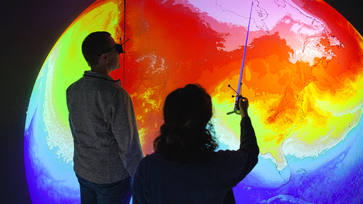
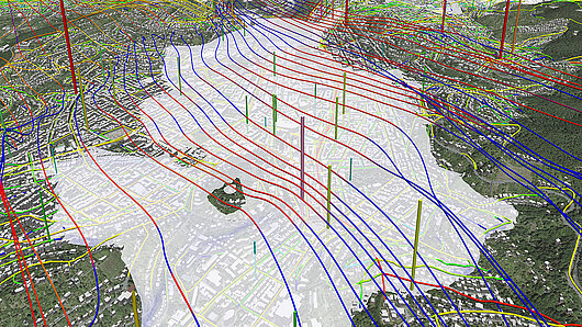
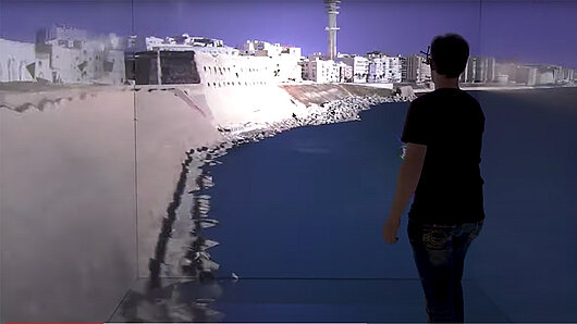
Earth systems are both extremely complex and have major influences on human health, safety, and economies. Visualization tools at HLRS make it possible to transform large-scale simulations into immersive, 3D experiences that make it much easer to understand models and predictions. By visualizing phenomena such as climate, weather, air pollution, earthquakes, and flood risks, decision makers and citizens gain perspectives that can raise awareness of and support decision making to reduce potential risks.
A member of the Gauss Centre for Supercomputing, HLRS is one of three German national centers for high-performance computing.